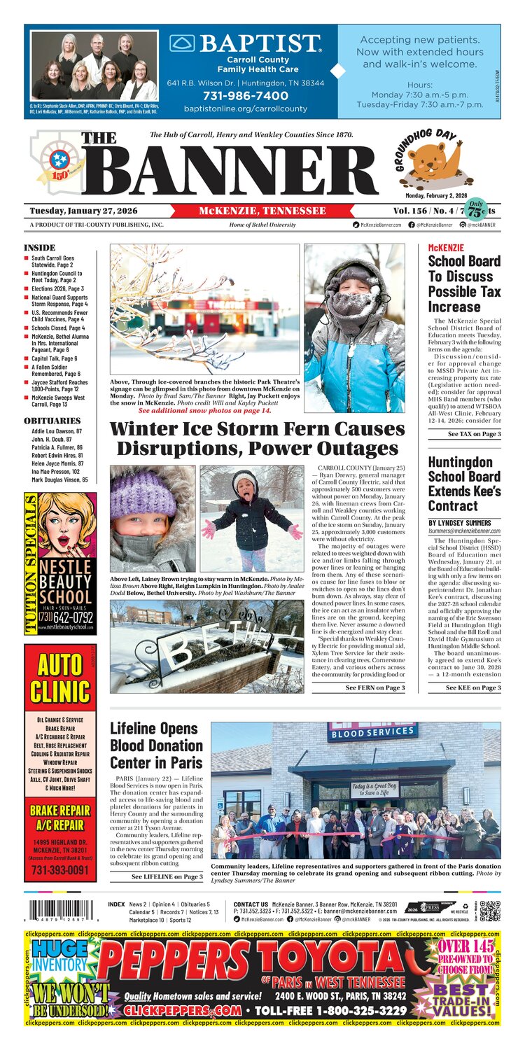
Winter Ice Storm Fern Causes Disruptions, Power Outages
From the Jan 27, 2026 e-Edition
CARROLL COUNTY (January 25) — Ryan Drewry, general manager of Carroll County Electric, said that approximately 500 customers were without power on Monday, January 26, with lineman crews from Carroll and Weakley counties working within Carroll County. At the peak of the ice storm on Sunday, January 25, approximately 3,000 customers were without electricity.
The majority of outages were related to trees weighted down with ice and/or limbs falling through power lines or leaning or hanging from them. Any of these scenarios cause for line fuses to blow or switches to open so the lines don’t burn down. As always, stay clear of downed power lines. In some cases, the ice can act as an insulator when lines are on the ground, keeping them live. Never assume a downed line is de-energized and stay clear.
“Special thanks to Weakley County Electric for providing mutual aid, Xylem Tree Service for their assistance in clearing trees, Cornerstone Eatery, and various others across the community for providing food or feeding crews,” said Drewry.
“To our customers, we greatly appreciate your patience as icy conditions greatly complicate power restoration efforts. Assessments and repairs are slowed by travel conditions. Switches are often found frozen, making them difficult to open or close. Extra time is required to clear the ice so these don’t break.”
“It takes solid teamwork to move safely, quickly, and efficiently in widespread outage events. Special thanks to all personnel for working through long hours, extreme conditions, and other challenges to serve our customers during Winter Storm Fern,” concluded Drewry.
Tennessee experienced more than 300,000 customers without electrical power and was suggested as the hardest hit state during Winter Storm Fern.
In the area, Birdsong boat marina near Camden began to sink because of the heavy snow and ice on its roof. Also, the boat dock at Lake Halford was also impacted as the snow/ice combination weighed down its roof.
According to TEMA, while snow accumulation was light in West Tennessee, the ice storm that followed caused the most damage and disrupted travel.
Below-normal temperatures combined with freezing rain and sleet resulted in significant ice accumulation across much of the state. This weather system remains ongoing, and conditions are expected to worsen overnight as temperatures drop into the single digits. Continued ice accumulation and cold temperatures will further impact power restoration efforts, transportation, and communications infrastructure.
Widespread power outages persist across Tennessee. TVA reports that the bulk power system remains stable; however, icing has caused extensive damage to local distribution systems. Local power companies and linemen are working around the clock under hazardous conditions to safely restore service as quickly as possible.
Road conditions across the state are expected to continue deteriorating overnight due to ongoing ice and extremely cold temperatures. Travel remains hazardous, and the public is strongly urged to avoid driving unless absolutely necessary. Reducing traffic allows emergency responders, utility crews, and TDOT personnel to operate more safely and effectively.
Communications infrastructure has been impacted in some areas, including reduced cellular service due to power loss and ice damage. Even if cellular connectivity is limited or unavailable, residents are still able to call 911. The public is urged to call 911 only for life-threatening emergencies. For non-emergency situations, residents should contact their local public safety non-emergency number or their local emergency management agency.
According to the National Weather Service, the forecast shows continued frigid weather for the remainder of the week.
Tuesday
Sunny, with a high near 30. Wind chill values as low as -7. West southwest wind 5 to 10 mph.
Tuesday Night
Mostly cloudy, with a low around 5. Calm wind.
Wednesday
Sunny, with a high near 30. Calm wind becoming west around 5 mph.
Wednesday Night
Partly cloudy, with a low around 12. Calm wind.
Thursday
Partly sunny, with a high near 31. Calm wind becoming north northeast around 5 mph.
Thursday Night
Mostly cloudy, with a low around 10. North northeast wind around 5 mph.
Friday
Partly sunny and cold, with a high near 20.
Friday Night
Partly cloudy, with a low around 2.
Saturday
Mostly sunny and cold, with a high near 20.
Saturday Night
Partly cloudy, with a low around 4.
Sunday
Mostly sunny, with a high near 28.
The Tennessee Emergement Management Agency (TEMA) confirmed three weather-related deaths in a news release on Monday.
One fatality in Crockett
One fatality in Haywood
One fatality in Obion
More Photos & Video
In the e-Edition
McKenzie Banner January 27, 2026
Jan 27, 2026 · Read the full issue →
Related Stories

West Carroll Students Attend "Flip the Switch" at Solar Farm
West Carroll students had the opportunity to be part of an exciting moment for our local community this week as they attended the Trezevant Solar Farm “Flip the Switch” event!
Sep 13, 2026

Cash Express Honors McKenzie’s First Responders
McKENZIE (September 11) — On Friday, Cash Express honored McKenzie Police (MPD), McKenzie Fire & Rescue (MFD), and Baptist-Carroll County Ambulance first responders with cakes decorated with the American flag and cards signed by McKenzie businesses thanking them for their…
Sep 11, 2026
Trezevant Solar Farm Flip-the-Switch Event Happening Now
Carroll County Electric Department (CCED) and Tennessee-based Silicon Ranch , owner and operator of one of the nation’s largest fleets of solar facilities and a community-focused energy infrastructure company, invite you to attend a “Flip-the-Switch” ceremony for the new…
Sep 10, 2026

Wallace and Company Delights Crowd at Park Theatre
McKENZIE (September 3) — The Nights on Broadway concert series relocated inside the historic Park Theatre to beat the heat on Thursday. Wallace and Company delighted the crowd with a mix of classic rock and country music on the McKenzie Banking Company stage. Audience members…
Sep 8, 2026